SELO2.0
A national programme for next-generation community centres and a new development model for Russia’s small settlements
From abandoned infrastructure to the infrastructure of the future
Working draft of an investment and urban-planning report
The document reads on three levels at once
For governors and municipalities
What to actually do with the territory: which building to take first, what happens to the land around it, and in what order networks, building and housing arrive.
For funds and developers
Where the economics sit: the capital structure, the investment perimeter of the territory, a new product instead of selling plots, and the payback contour.
For the federal level
Why this can become a model of spatial development rather than a one-off construction project: a common standard, a network of centres, industrial demand, and a measurable outcome.
The paradox: much of the infrastructure of the future is already built
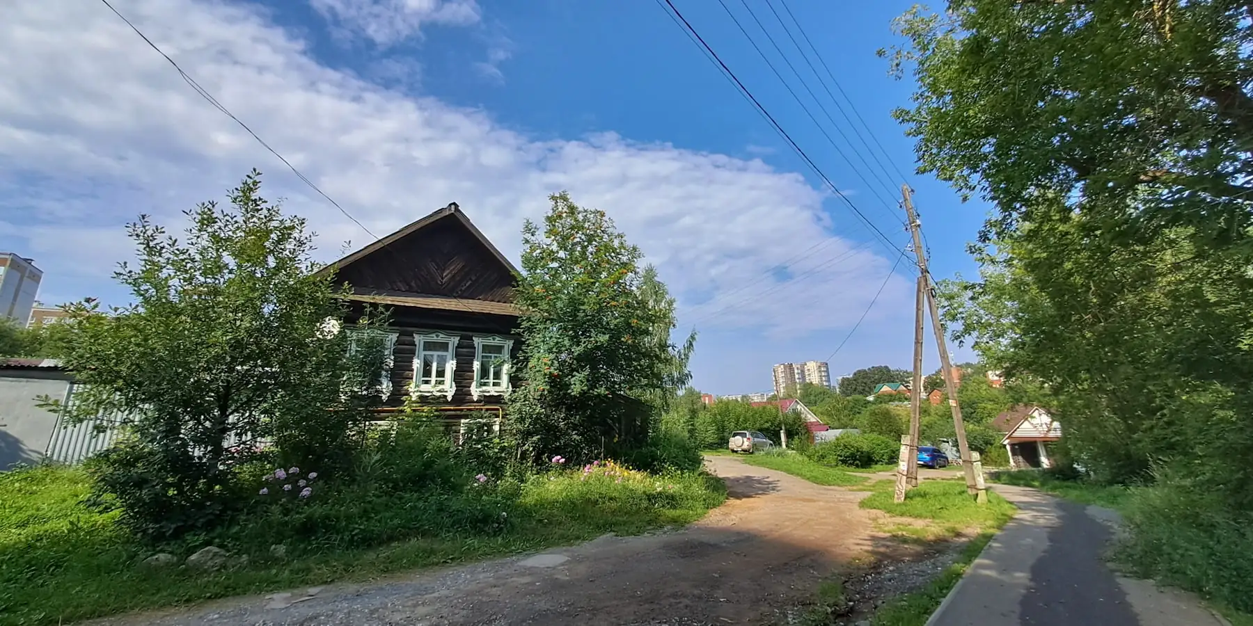
Russia’s small settlements are losing people and holding vast unrealised physical capital at the same time. Buildings, land, networks and roads already exist — what is missing is not square metres but function, economics, and a reason to stay.
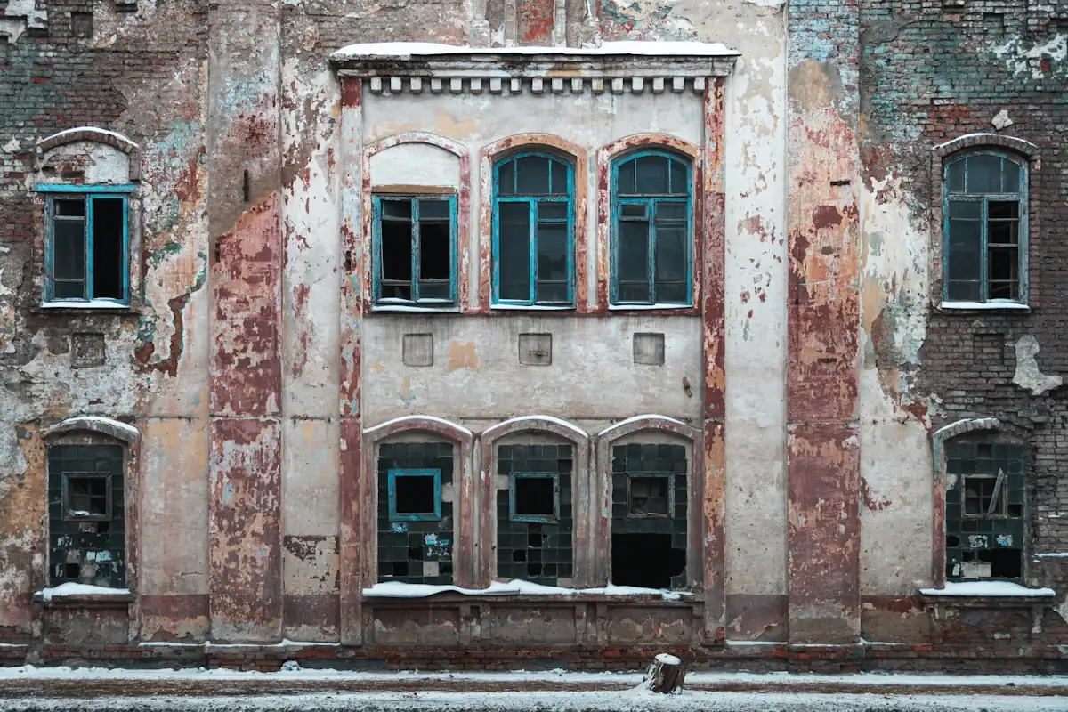
The former houses of culture are the most telling case. They once were the centre of settlement life. Today many of them are buildings with an enormous volume of space and no function to match it.
What is happening today
- Shrinking and ageing population
- Young people migrating to large cities
- Degrading public infrastructure
- Few jobs outside agriculture
- Worn-out housing stock and utility networks
- Rising per-capita cost of maintaining the territory
What the territory already has
- Culture houses, clubs and libraries
- Schools and administrative buildings
- Sports facilities
- Land plots in the settlement centre
- Roads and access routes
- Utility networks and connected capacity
- Public squares
- Communication channels and coverage
Part of this capital effectively sits idle. The proposal is not to restore the culture house of the past, but to use it as the infrastructural foundation of the settlement of the future.
The core thesis: this is not a building-repair programme
SELO 2.0 is a new model of territorial development. Reconstructing a building is not the goal here but the instrument: it only makes sense together with economics, energy, housing and governance.
existing infrastructure capital + a new economy + a contemporary social environment + energy independence + digital governance + new housing = a new rural settlement
The object of the programme is therefore not the house of culture but the settlement as a whole.
Why now
Russia’s Spatial Development Strategy to 2030 with a forecast to 2036 is explicitly built around the territorial framework and the development of anchor settlements; its implementation plan was approved by Government Order No. 2149-r of 11 August 2025. SELO 2.0 is best read not as a separate cultural programme but as a practical instrument for delivering that strategy across several policy lines at once.
The multifunctional rural community centre is not an invention from scratch: Russian architectural research has long studied the shift from the classic culture house to centres combining social, cultural, educational and economic functions, and the community centre has traditionally been treated as the leading structural element of a rural settlement.
Why the old culture house is the ideal entry point
Location
As a rule it stands in the centre of the settlement, where pedestrian routes and transport already converge.
Land
There is usually significant free land around the building, suitable for a square, a park, sports and new development.
Scale
This is not a small building: the volume was designed for large numbers of people and can carry a whole set of new functions.
Public memory
Residents do not need to be told where it is. The place is already known and requires no new habit to be formed.
Symbolic role
The culture house has historically been the centre of the settlement — renewing exactly this point reads as a change in the trajectory of the whole territory.
So instead of building a new facility on the outskirts, it is wiser to give the centre its function back.
From culture house 1.0 to a community hub
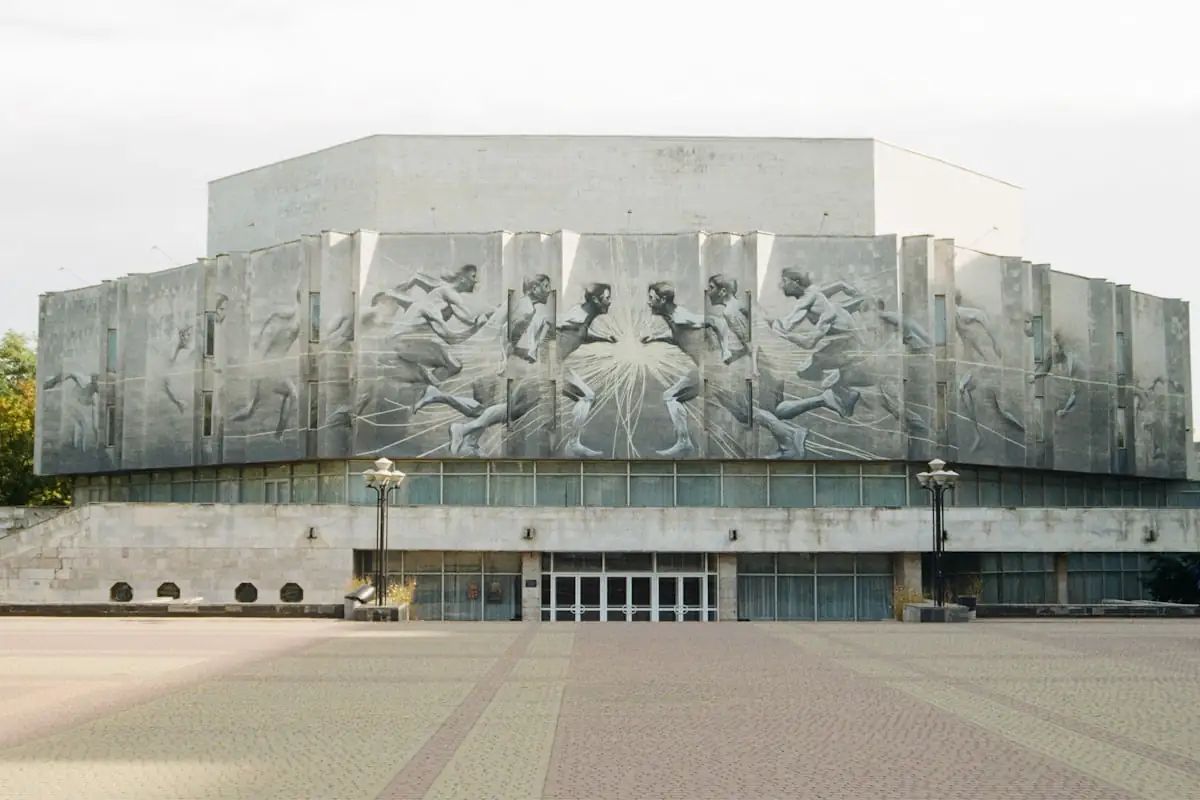
The key transformation is not in the finishes but in the set of functions. Culture does not disappear: it returns, but as one function among many rather than the only one.
CULTURE HOUSE 1.0
SELO 2.0 — the civic and technological centre of the settlement
Twelve functional clusters
Inside the building there are no “halls” but clusters — each with its own audience, economics and operating hours. The exact mix depends on the territory: some clusters are basic, others are optional add-ons.
The public living room
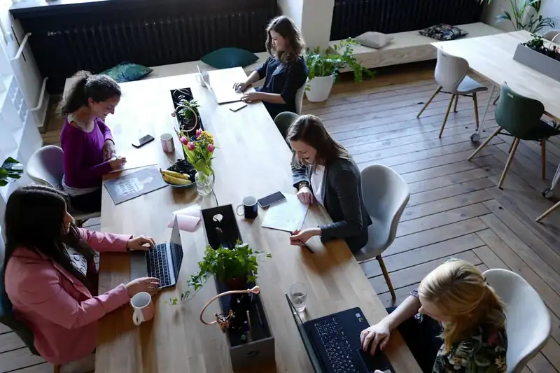
The heart of the building: a café, a library, shared tables, Wi-Fi, workspaces, a small stage, a local market, and the settlement information panel. You can come here simply to be here, buying nothing.
Education
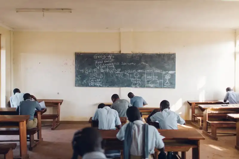
A point of continuous learning: computer rooms, remote programmes, a lecture hall, tutoring for schoolchildren, languages, and professional retraining for adults.
Rural FabLab
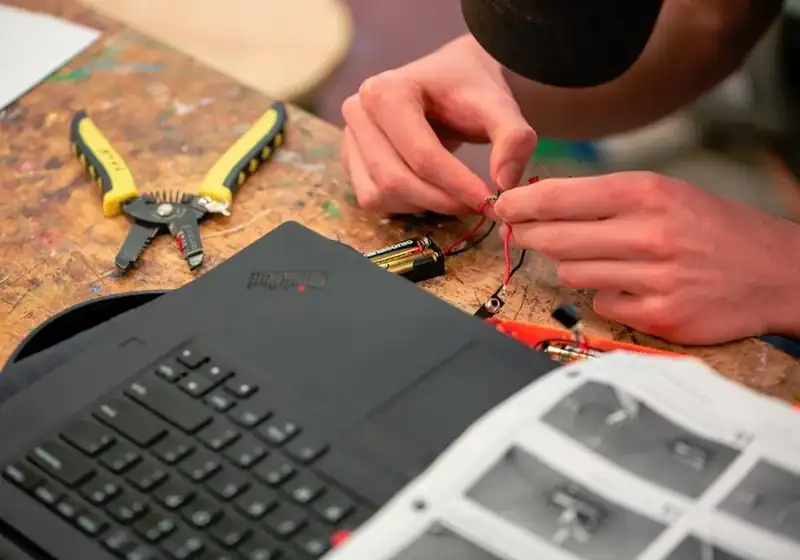
3D printing, CNC, laser cutting, electronics, robotics, equipment repair. Not a museum of technology: a farmer needs a part, makes a prototype, tests it and runs a small series.
Digital work hub
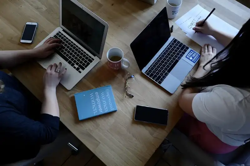
Rural coworking. Live in the village and work as a developer, engineer, designer, accountant or analyst. The workplace has to appear before the person moves, not after.
Digital health point
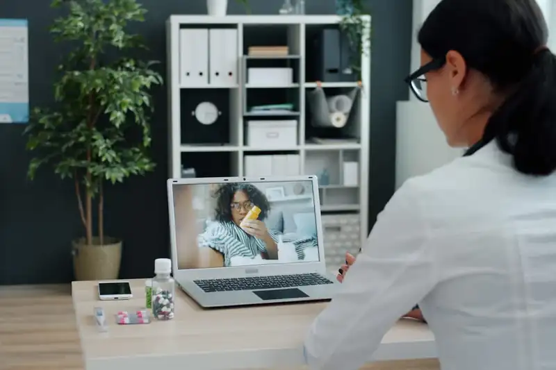
Not a hospital but a node of a distributed medical network: a nurse’s room, telemedicine, basic diagnostics and tests, ECG, prevention, and a base for mobile teams.
Children’s hub
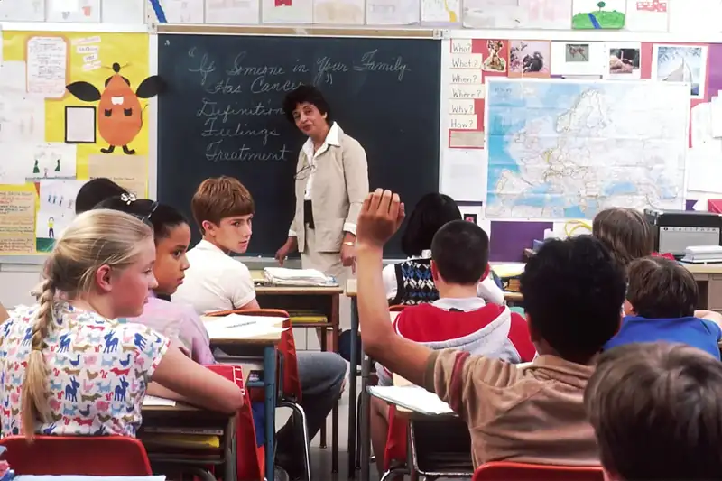
A playroom, robotics, music, art, programming, a laboratory, a media studio and career guidance. A child should be able to spend three to five hours here after school.

Sport
The old hall is transformed: gym equipment, functional training, team sports, martial arts, dance, rehabilitation. Outside — a pitch, a workout area, running and ski trails.
Culture
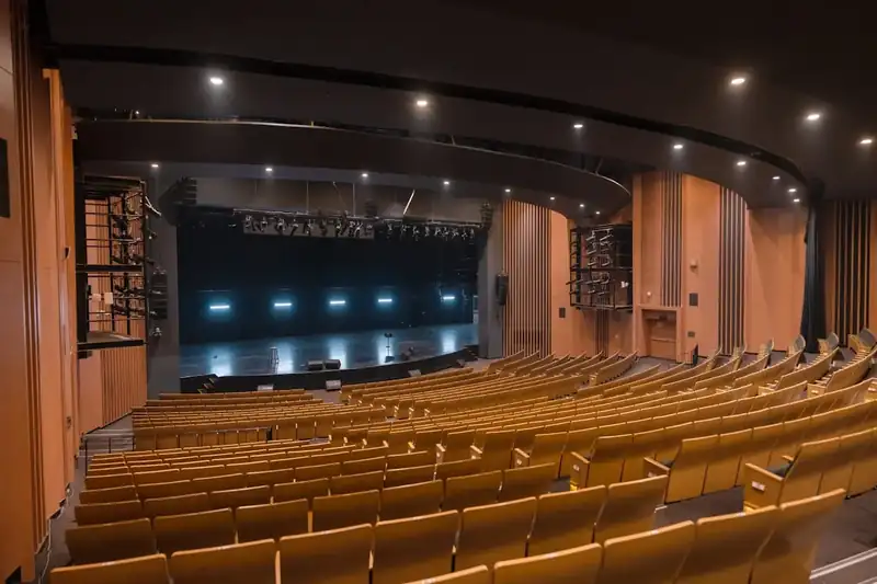
Theatre, music, cinema, concerts, exhibitions, festivals, local history and crafts. Culture returns to the building but stops being its only content.
Rural business centre
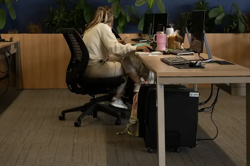
Accountant, lawyer, business registration, grants and credit programmes, marketing, e-commerce. A resident should get an answer to one question: “I want to start a business. What do I do tomorrow morning?”
Local manufacturing
Food, timber, furniture, textiles, ceramics, metalwork, packaging, agricultural processing. Not an industrial zone but distributed manufacturing: small, clean and technological.

The state
A public services centre, postal and social services, a public reception room, digital government services. Most everyday matters get resolved inside the settlement.
Tourism
Where the potential exists: a tourist information centre, rentals, tours, souvenirs, local cuisine, route information. The culture house becomes the gateway to the territory.
Three cores and a digital layer
A community hub is not a building. It is a building plus a square, a park, sport, the street, transport, energy and digital infrastructure. The programme rests on three cores tied together by one digital model.
COMMUNITY HUB — people
Education, healthcare, culture, sport, work, technology. The centre and the square in front of it, which becomes the settlement’s square rather than a car park: fairs, festivals, a farmers’ market, open-air cinema.
ENERGY HUB — power
Generation, storage, networks, reserve. The renewed building becomes the energy core of the settlement, not merely its consumer.
HOUSING HUB — housing
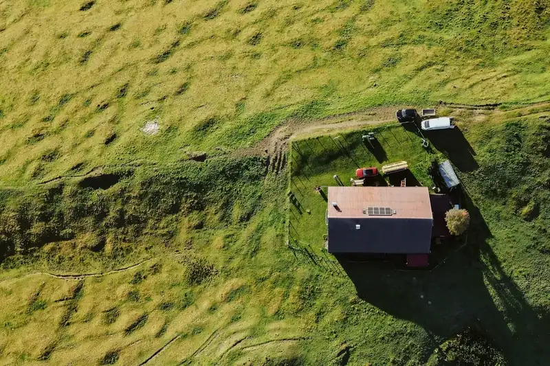
A new rural quarter of 50–300 houses: roads, pavements, lighting, networks, internet, planting, children’s areas and public spaces. People buy not a plot but a way of living.
DIGITAL HUB — governance
The digital twin of the territory ties the three cores together and serves as the tool for design, investment analysis and outcome control.
The biophilic layer: a settlement inside its landscape
SELO 2.0 continues the line of biophilic cities at rural scale. Nature here is not leftover landscaping but load-bearing infrastructure: it takes load off the storm drains, holds the microclimate, and works for health and for property value.
The main mistake of new rural construction is turning the territory into asphalt, fences and parking. The Russian rural landscape is worth treating as a national asset: the task is not to build cottages over it but to place life inside it.
500 metres of life
Within five to seven minutes on foot from the centre: housing, school, children’s functions, park, sport, the bus stop, shops and workplaces. What is redesigned is not a building but the spatial structure of the settlement.
Blue-green network
Water, forest, fields, parks and green corridors connect into a continuous network instead of staying scattered patches. Rainwater works for irrigation and landscape wherever that is technically and legally permitted.
The 3–30–300 rule
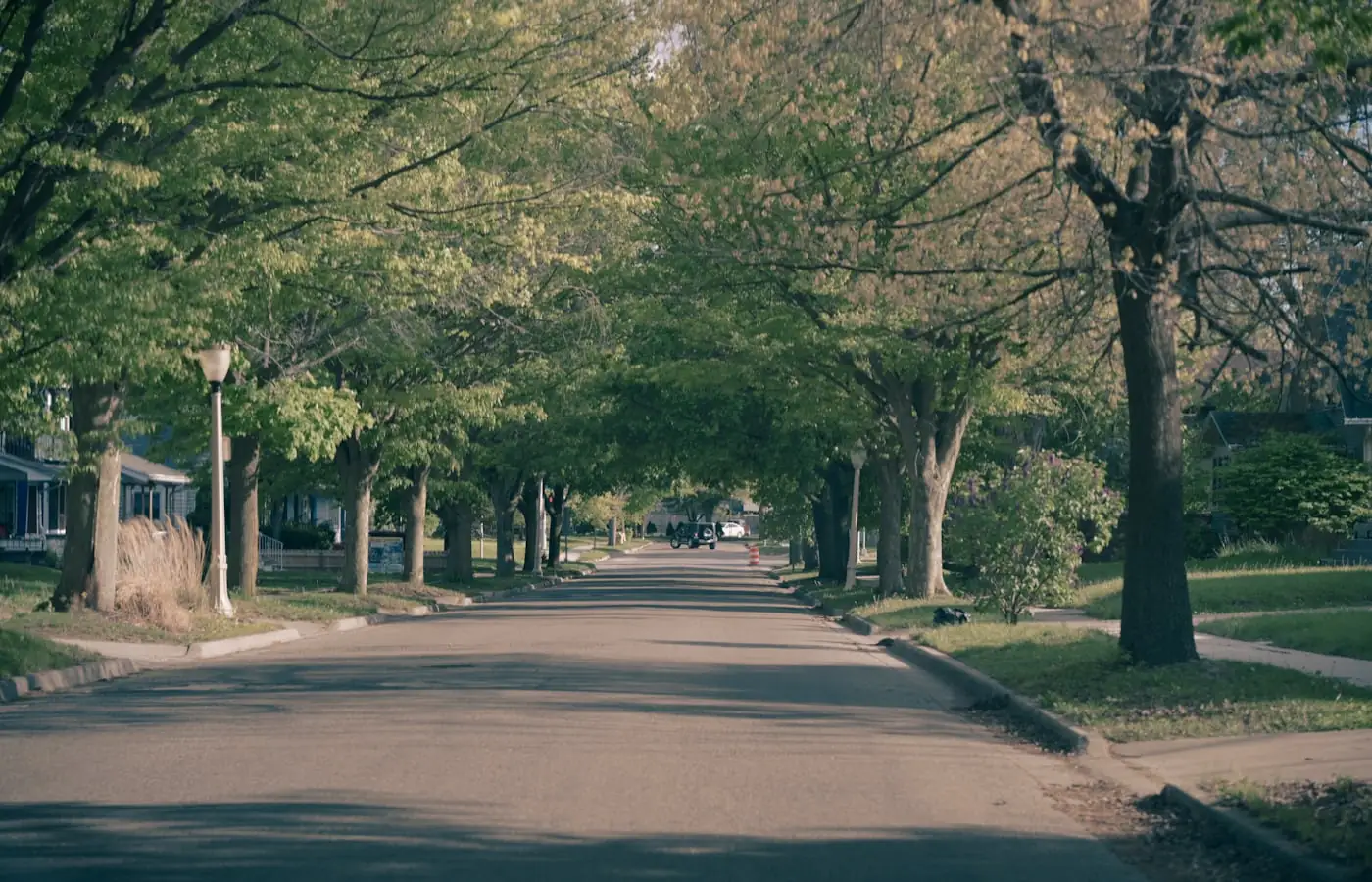
Three trees visible from the window, 30% canopy cover in the neighbourhood, 300 metres to a quality green space — a verifiable standard that applies to rural development too.
Street instead of fence
Instead of continuous two-metre fences — green streets, visual corridors, shared gardens, children’s routes and pedestrian links. That is a different housing market and a different quality of environment.
ENERGY FIRST: power before housing
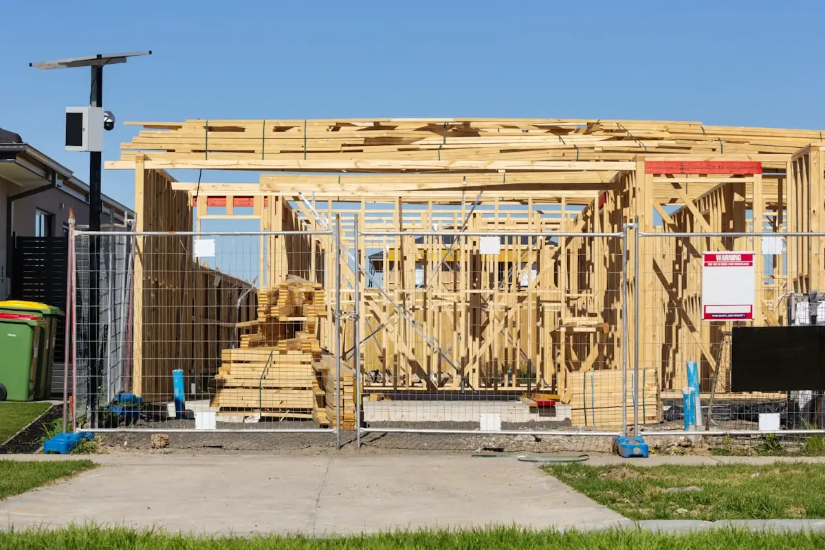
New houses create additional load. Build 200 houses first and only then ask whether there is enough capacity, and the territory gets a problem instead of development. The energy contour is therefore designed first.
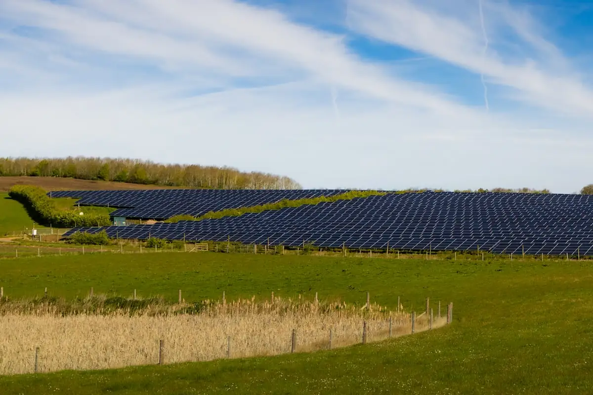
capacity → networks → generation → reserve → new housing
The mix of solutions follows the economics of the specific territory rather than fashion: the criterion is the cost per kilowatt-hour and reliability, not whether there are panels in the photograph.
The digital twin of the settlement
The practical version of Gosplan 2.0 at territorial scale: not another reporting system but an operating model of the settlement in which physical and economic layers are connected.
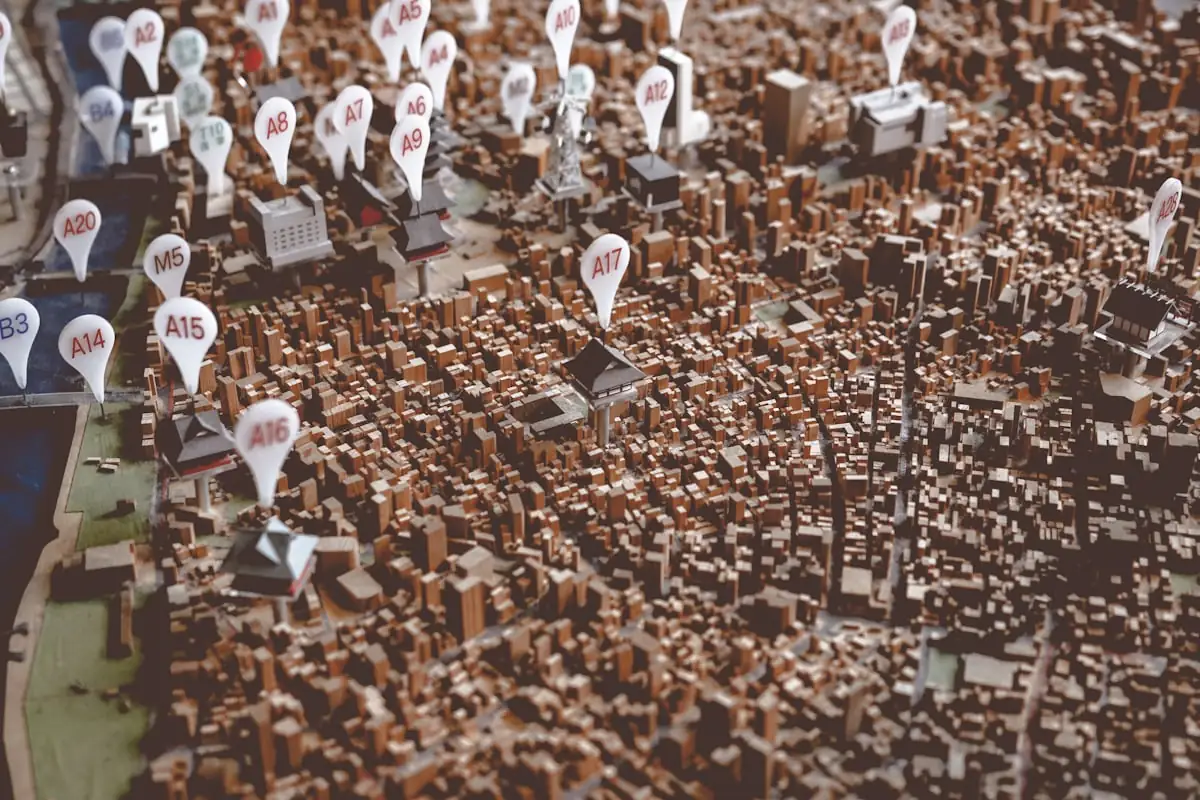
The digital passport of a facility
COMMUNITY HUB No. 001

Floor area:            2,340 m²
Land plot:             1.4 ha
Built:                 1976

Structure:             satisfactory
Roof:                  needs repair
Utilities:             need replacement

Current capacity:      120 kW
Capacity after:        250 kW

Reconstruction cost:   RUB 180–230 m
Catchment:             ~6,000 people
Jobs:                  35–60
Footfall:              15–25k visits/month
The figures in the example are illustrative. Real values appear only after a survey of the specific building and territory — and it is those, not sector averages, that become the basis for a decision.
Scenario modelling: a choice, not a single answer
For every territory the system computes several scenarios and compares them on the same set of indicators. A human still decides — but on comparable data.
Scenario A
Repair the building in its former function
Scenario B
Convert it into a community hub
Scenario C
A new facility on a new site
Scenario D
Community hub + a new residential quarter
Scenario E
Hub + energy + housing + manufacturing
The output is not “a 2,000 m² building” but the investment perimeter of a territory: community hub + energy hub + 300 housing plots + local processing + tourism + a work hub. For such a perimeter, returns can be calculated as a whole.
The investment model: four layers of capital
Dividing the roles matters more than the size of the budget. The state does what private investors find hard to do, and private capital then receives a prepared territory.
State capital
Roads, utility networks, social infrastructure, base reconstruction, public realm, the regulatory framework.
Municipal capital
Land, existing buildings, governance, the choice of site and of local partners.
Private capital
Housing, manufacturing, cafés and services, tourism, coworking, commercial property.
Institutional capital
Infrastructure funds, banks, regional funds, impact investors, and venture financing for the technology layer.
The target is that one rouble of public money attracts one to three roubles of private capital. That is a goal, not a proven economy: the figure has to be verified on pilot territories.
The difference from classic PPP: the project starts not from a ready building but from a development strategy for the territory. The investor enters a perimeter where connection, land and infrastructure risk has already been removed.
ONE STOP TERRITORY
A territorial development corporation at regional or municipal level manages the land, the infrastructure, the community centre, housing and the pipeline of investment projects. The investor does not have to walk separately through the administration, the grid operator, the water utility, land management and transport — which sharply reduces transaction costs.
One system, four interfaces
Different participants look at the same territory with different questions. The data is shared; the presentation is not.
Governor — Territory Dashboard
What is happening to the territory: population and youth dynamics, jobs, tax base, energy costs, footfall in the centres, new houses and new companies.
Investor — Investment Dashboard
CAPEX split into private and public, the number of houses and jobs, population growth, returns and payback — for a specific perimeter rather than a sector average.
Municipality — Public Value
Infrastructure, employment, taxes, demography, social services and — separately — the running cost of what has been built.
Resident — Community App
The centre’s schedule, services, bookings, the local marketplace, and feedback about the territory.
New indicators: how to measure the result
The main mistake of publicly funded construction is counting the cost per square metre. What should be counted is how much public and economic function that metre creates.
Settlement Vitality Index (SVI)
A composite indicator: demography, economy, employment, education, healthcare, infrastructure, energy, entrepreneurship, digital access and environmental quality. Measured before the project and five years on.
Functional utilisation
How many hours a day the space is genuinely in use. For an old culture house this is a few per cent; for a community hub it is several times higher. This is exactly where the economic case for reconstruction appears.
Cost per functional hour
Spending on the facility divided by the public function actually created, rather than by floor area.
CAPEX per new resident and per job
How much infrastructure investment it takes for a territory to attract one permanent resident and create one job.
Public value per rouble
How much public effect each invested rouble creates, measured the same way across every territory in the programme.
The financing principle follows from this: part of the money is tied to results — jobs created, employment, footfall, tax base, new residents, lower energy consumption. Not “the budget was spent” but “the result was achieved”.
A typology of settlements: where the money should go
Spreading funds evenly produces uneven effects. The same hundred million produces a different multiplier in different territories — and that has to be calculated before, not after.
S0 — critical
Population is steadily shrinking and there is no economic base. The priority is maintaining services and decent conditions for those who remain, not capital investment.
S1 — stable
Population holds and potential exists. A basic community hub is feasible without a large housing component.
S2 — growth point
Transport, free land and economic activity are present. The full perimeter applies: centre, energy, housing, manufacturing.
S3 — anchor centre
The territory serves neighbouring settlements. It develops as an inter-settlement node with an extended set of functions.
Socially weak territories cannot be abandoned either. The model therefore carries two coefficients — investment and social — with the balance between them set by the state, publicly and by the same rules for everyone.
Architecture: a modular catalogue and regional identity
Old on the outside, new on the inside
Scale, character, brick, concrete and historic elements are preserved. Glass, timber, metal, greenery, daylight and modern engineering systems are added. A dialogue emerges between the heavy monumental volume and a light transparent extension.
A federal catalogue — HUB-500 / HUB-1000 / HUB-2000 / HUB-5000 — is not a set of ready buildings but a kit of architectural and engineering modules: one structural and engineering system from which each settlement assembles its own mix of functions.
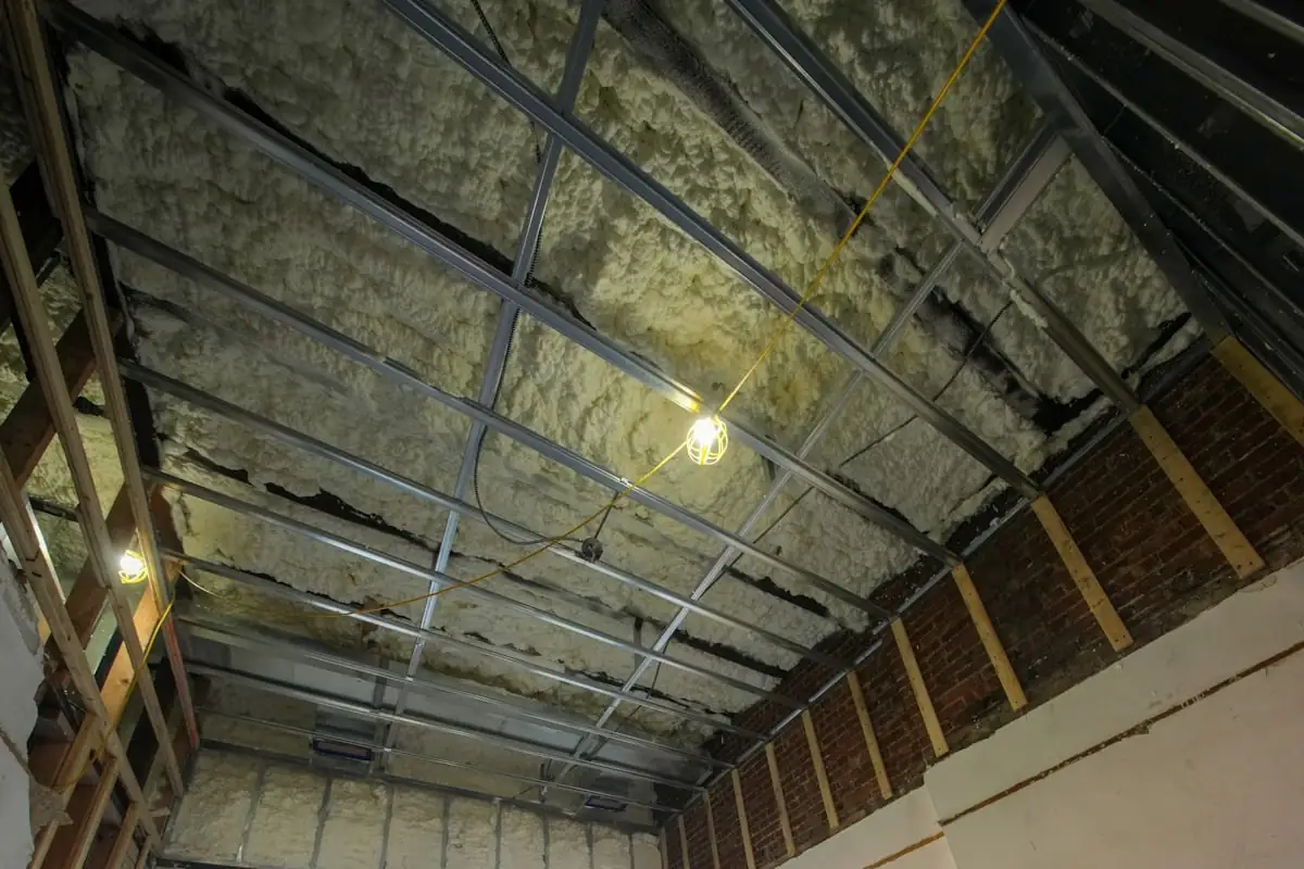
Spaces must change function: education in the morning, coworking during the day, a lecture in the evening, cinema or a concert at night. One hall, four modes. For the economics of a small settlement this is critical.
The North
Different materials, different thermal solutions, and work with light through the polar night.
Siberia
Maximum energy efficiency, enclosed public spaces, winter gardens, heated passages.
The South
Open galleries, shade, verandas, water and green space as the primary climate instrument.
The Far East
Modularity and assembly logistics, energy autonomy, thermal efficiency.
The Caucasus
Local stone, courtyard structure, public squares, and reliance on regional tradition.
RUSSIAN RURAL FUTURISM
The task is not to copy the European village, the American suburb, the Scandinavian town or the Chinese village, but to create a new Russian rural architecture: Russian scale, regional identity, modern engineering and digital technology. A teenager should want to go there, an entrepreneur to work there, a governor to show it to delegations, and an investor to understand its economics.
Roadmap: 100 → 1,000 → 5,000
Phase I — 100 settlements
Piloting across 10–20 regions and different climate zones. Selection is not random: infrastructural, demographic, economic, transport, land, energy and tourism potential are computed in advance. Each region gets one flagship — a fully realised example.
Phase II — 1,000 settlements
Standardisation: a BIM library, standard solutions, the digital platform, financial models, the regulatory base. A Russian supply chain appears — furniture, HVAC, electrical equipment, lighting, IT, sports and medical equipment — that is, industrial demand rather than a one-off build.
Phase III — 5,000 settlements
A national network: community centres become elements of the country’s spatial framework, linking village, district, small town and regional capital.
A pilot takes 24–36 months: year one — diagnosis, design, financing and site preparation; year two — reconstruction and launch of functions; year three — measurement, optimisation, and only then scaling.
Who does what
The legislature
A legal definition of the multifunctional community centre, a federal standard, the digital passport of a facility, a single register of unused social assets, mechanisms for transfer, concession and blended finance, and a special regime for pilot territories.
Ministry of Construction
The federal architectural standard for SELO 2.0 and the standard solutions of the modular catalogue.
Ministry of Agriculture
Integration with the rural development programme, which already covers construction and reconstruction of roads to socially significant facilities and to processing plants.
The region
A regional rural development programme, pilot selection, the development corporation, and investor support.
The municipality
Choosing the territory, the building and the land, working with local entrepreneurs and residents, and operating the centre.
Business
Jobs, manufacturing, housing, services and tourism — the substance that fills the built perimeter.
The technology operator
The digital part of the concept: passports of territories and facilities, the model, analytics, the investment showcase, and outcome monitoring.
Arisweb Rural OS
A digital platform managing physical infrastructure — neither “let’s make an app” nor “let’s put up a building”, but the link between the two. Eight modules that can be introduced in sequence.
The territory marketplace is a story of its own: the farmer, the cheese maker, the apiary, the furniture workshop, the craftsman and the tourist site each get a digital storefront and sell locally, regionally and nationwide. The community hub then becomes the physical logistics node: packaging, labelling, storage, pickup, dispatch. The digital economy connects to a specific piece of land.
Launch sequence
- 1Digital passport of the settlement — map, buildings, land, population, infrastructure, energy, projects
- 2Passport of the community centre — condition, reconstruction cost, functions, utilisation, scenarios
- 3AI Territory Planner — development scenario, CAPEX, infrastructure, housing, jobs, population forecast
- 4Investment showcase — investment-ready territories instead of scattered assets
- 5National map — every facility in the programme and its status
Selling the platform before the first delivered territory makes no sense. The system has to grow out of a real pilot: first one genuine SELO 2.0 with before-and-after measurements, and only then replication.
What has to be tested before scaling
A concept is only as strong as the honesty with which its weak points are checked. That is what the pilot is for.
The economics are unproven
Private capital leverage, payback and population growth are targets. Until they are measured on real territories they are hypotheses, not indicators.
Operating costs beat construction costs
Building a centre is easier than running it for twenty years. The operating model, the source of operating income and the responsible operator must be defined before work starts.
People
A FabLab, telemedicine and coworking only work if there are people running them. Without a programme to train and retain staff, the facility degrades into an empty hall.
Demand for relocation
Willingness of city dwellers to move permanently, rather than for the summer, must be measured before the quarter is designed — not after the plots are sold.
The “built and forgotten” risk
Without mandatory outcome measurement and public reporting, the programme risks becoming another cycle of renovations with attractive paperwork.
Conclusion
The strongest argument for the programme is that it does not require starting from zero. The land, the buildings, the roads, the networks, the settlements, the history and the communities already exist. The task is to connect existing capital to a new function. Not to build more, but to use better. Not to repair an asset, but to redefine its function.
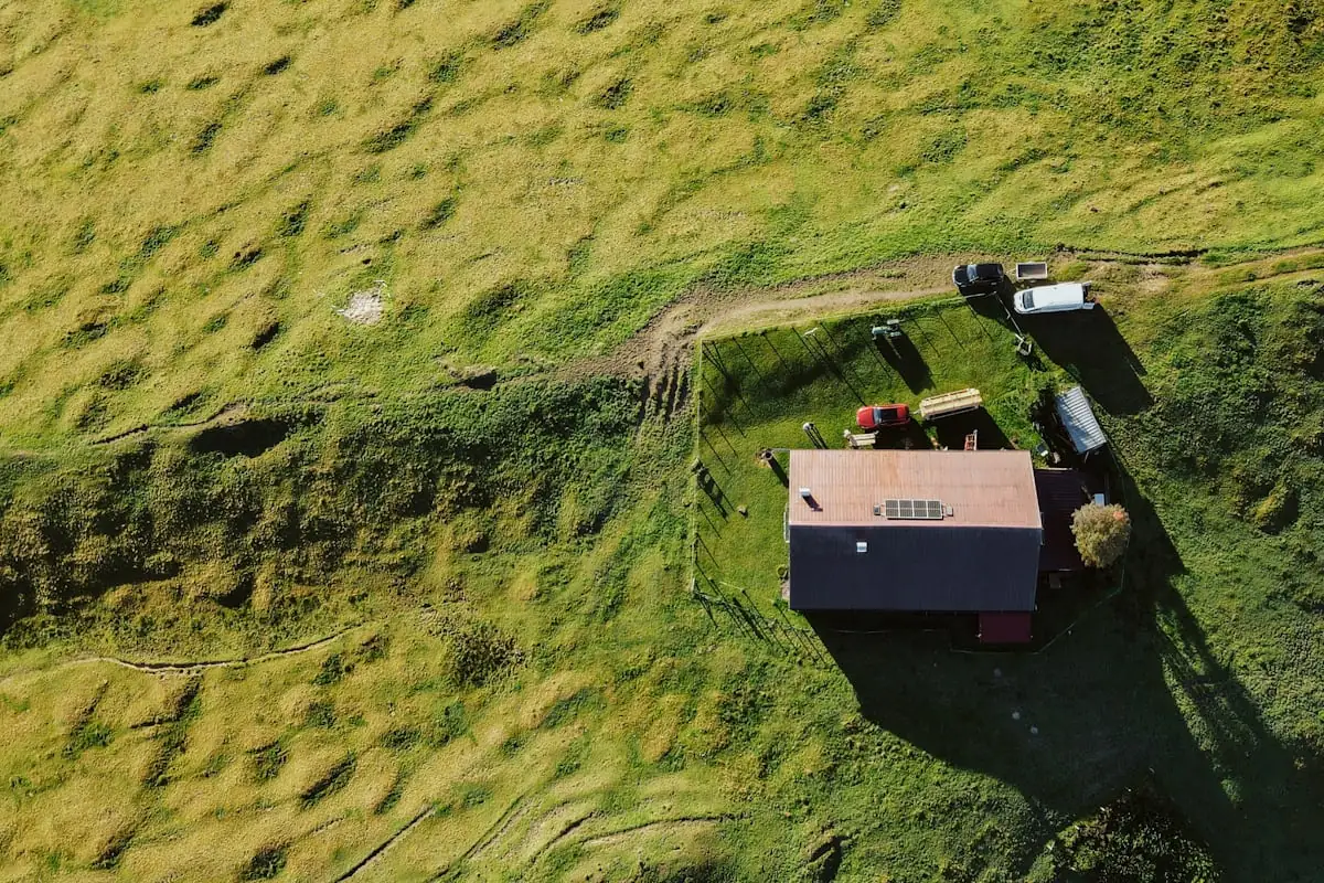
SELO 2.0 is not a return to the village. It is the chance to build the future where territory, history and human capital already exist.
We propose not to repair empty buildings but to give them back the function of development centres.
Unused social assets turn into infrastructure assets of the territory.
One community hub should change not a building but the development trajectory of an entire settlement.
The foundations of the concept
Primary sources the document rests on. Links open in a new window.
Spatial Development Strategy of the Russian Federation
The implementation plan for the Spatial Development Strategy to 2030 with a forecast to 2036 — Government Order No. 2149-r of 11 August 2025.
Integrated rural development
The state programme: roads to socially significant rural facilities, production and processing sites, and social infrastructure.
“Selo 2.0” as a space of social innovation
Research into the new meanings of rural territory: tourism, recreation, relocation of city dwellers, and new employment models.